
Sarasota County Neighbors by Block
A block lookup combines records made for different reasons. Sarasota County parcel GIS defines the nearby lots. The assessment roll identifies an owner, mailing address, situs address, and exemptions for each parcel. A tailored Elections extract can include public registered-voter fields. Permits and code cases show dated activity at an address. City neighborhood maps identify a voluntary association and its public contacts, not its members.
| Source | What It Shows About a Block | Access |
|---|---|---|
| Parcel GIS | Lot boundaries, touching parcels, linked parcel details | Free map browse |
| Assessment roll | Owner, mailing and situs address, visible exemption | Free, parcel by parcel |
| Voter extract | Public registrants at released street addresses | Elections request with redactions |
| Permit and code records | Projects, cases, owners, applicants, contractors | Jurisdiction portal or request |
| Neighborhood map | Association boundary and public contact | City Planning or county services |
| Reverse directory | Past listed occupants or businesses by street | History Center, volume dependent |
An assessed owner is not automatically an occupant. A matching mailing and situs address, plus a homestead exemption, supports owner occupancy but does not identify the full household. The block method preserves those limits. It records what each source says and leaves unlisted people unnamed.
Permit and code records require one more check: jurisdiction. A postal address reading Sarasota may be inside the city or in unincorporated Sarasota County. Venice, North Port, and the Sarasota County part of Longboat Key maintain their own local functions. Confirm municipality or tax district on the parcel before choosing a portal. That step prevents a false no-result caused by searching the wrong keeper.
Click Sarasota County Neighbor Parcels
The Sarasota County Property Appraiser map supports address or parcel lookup, pan and zoom, identification by clicking, and linked parcel details. Start at block scale. Touching lots are legally adjacent, while lots across the road may be close without sharing a boundary. A corner property may use a situs address on the cross street, so map position alone can mislabel it.
Open every nearby parcel separately. Record the canonical situs spelling, parcel ID, owner exactly as indexed, mailing address, municipality or tax district, and the date viewed. Preserve parcel IDs rather than relying on small map labels. The result is a dated set of owner records, not a list of all Sarasota County neighbors who occupy those homes.
Note: Use the map’s scale and parcel geometry to distinguish touching properties from merely nearby addresses.
Map Sarasota County Neighbors
A repeatable process keeps the search within the immediate block. It also prevents an owner name, permit applicant, or voter record from being merged into one unsupported claim. Use one row per parcel and one field for each source role.
- Normalize the house number, street, unit, and ZIP through the Property Appraiser’s parcel result.
- Open map mode, zoom to the block, and click each touching or facing parcel in geographic order.
- Save each parcel ID, situs, assessed owner, mailing address, and visible homestead clue as a dated snapshot.
- Add only public voter, permit, or association evidence that clearly matches the standardized address.
- Label uncertainty and stop when map geometry, address form, or a protected record prevents a sound match.
The Sarasota County Street Directory owns the broader named-street chain. The neighbor method stays close to the starting parcel and adds the community layer.
Quality control matters at corners and curved roads. Note which side of the street each lot faces, whether a condominium is one parent parcel or many units, and whether an entity rather than a person owns the land. A trust or corporation should remain an entity unless a lawful public filing identifies a representative. Do not guess beneficiaries or private members from a similar name.
Sarasota Block Voter Records
The Sarasota My Voter Record tool requires a first name, last name, and date of birth. It is self-service, not a way to probe nearby households. Block-level evidence comes through a narrow Sarasota Elections public-record request for specified fields and a defined street segment or geography.
Florida generally makes voter name, residence address, date of birth, party, phone, email, registration status, precinct, district, and participation history public when no exemption applies. Social Security number, driver-license or Florida ID number, registration source, and signature copying are restricted. Ask for an as-of date, standardized residence address, status, and only the fields needed. The file covers registered voters, not every resident, and participation never reveals a ballot choice.
Florida’s official voter-information page explains the public and restricted categories.
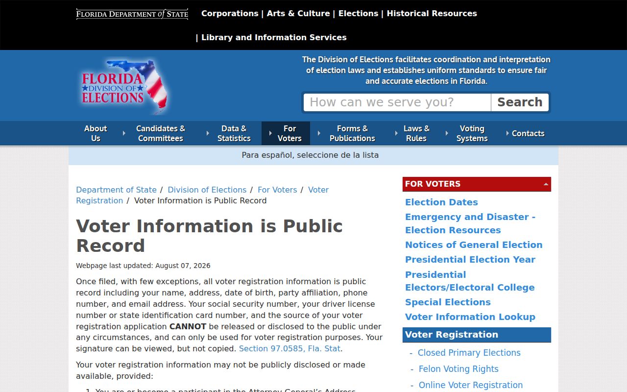
The image supports a source-limited approach rather than treating the voter file as a household roster.
Read the cited Florida voter-information statute.
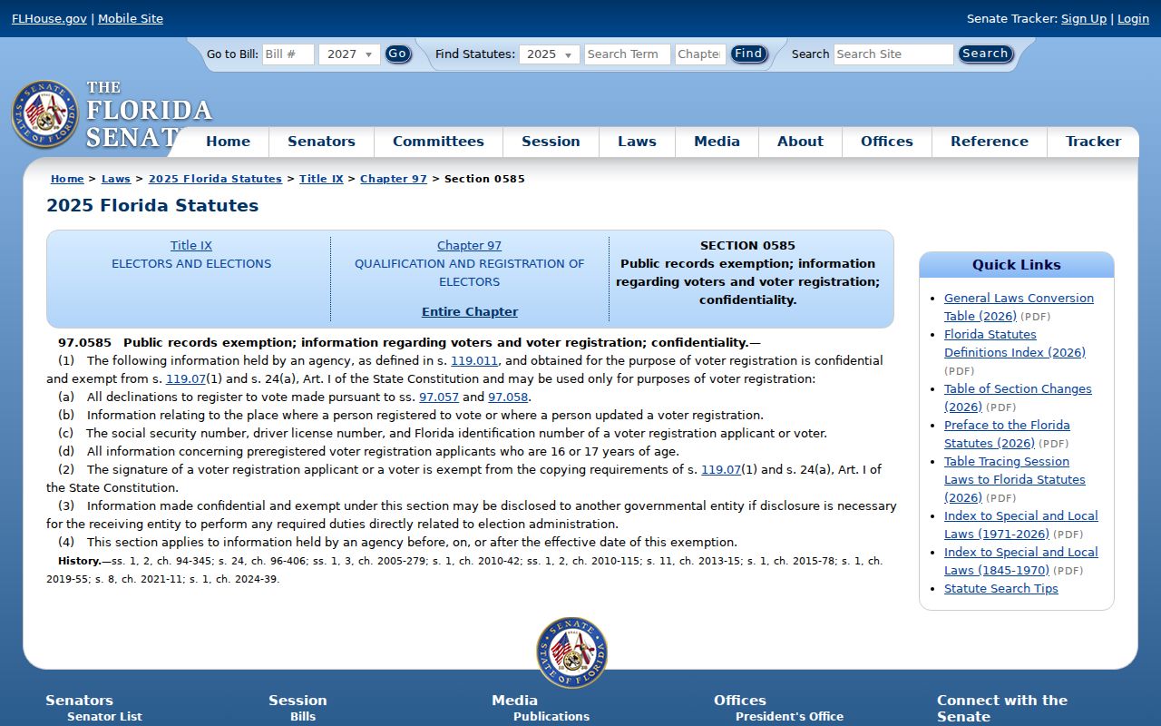
The statute image marks the legal boundary between released voter fields and protected identifiers.
Sarasota Neighborhood Association Contacts
The City of Sarasota recognizes more than 50 neighborhoods. The Coalition of City Neighborhood Associations reports 36 active member associations, with public participation in monthly meetings. Associations are voluntary groups open to residents and local businesses within their areas. Public officers, newsletters, meeting notices, and general contacts can help someone learn about the community. Membership lists are not government resident rolls and are generally not published as address directories.
| Community layer | Public route | What it establishes |
|---|---|---|
| City Neighborhoods | City Planning, 1575 Second Street, 941-263-6378 | Mapped neighborhood and public program contact |
| CCNA | Network of 36 active city associations | Public civic participation and member organizations |
| County area | Sarasota County Neighborhood Services | Route for postal Sarasota outside city limits |
| HOA corporation | Declaration plus Sunbiz filing | Legal entity and public officers or agent |
City map examples include Arlington Park, Bayou Oaks, Bird Key, Downtown, Gillespie Park, Indian Beach-Sapphire Shores, Laurel Park, Newtown, Pinecraft, Rosemary District, St. Armands, and Southside Village. Confirm the target parcel against the current boundary layer instead of relying on a postal name.
For a useful contact record, save the organization name, stated boundary, public officer or general email, meeting schedule, and date checked. Ask whether meetings are open and whether a public newsletter exists. Do not solicit a private roster. If no public resident directory is represented, record that limit plainly. Public participation can still reveal local projects, traffic concerns, park work, or meeting topics without exposing household data.
HOAs and Sarasota County Neighbors
A neighborhood association and a homeowners association are not the same. The first is usually a voluntary civic group defined by a public map or stated boundary. An HOA is tied to subdivision or condominium declarations and may have mandatory parcel-based membership. Similar names do not prove that an association governs a given lot.
Start with the parcel’s subdivision or condominium declaration, then use Sunbiz to confirm the association corporation, its public officers, registered agent, and filing address. A public officer is a community contact, not proof that every member or nearby resident is listed. Congregation, watch, club, and civic rosters remain private unless the group chooses to publish them.
A public-facing professional or association role can also be checked through the Florida DBPR license search.
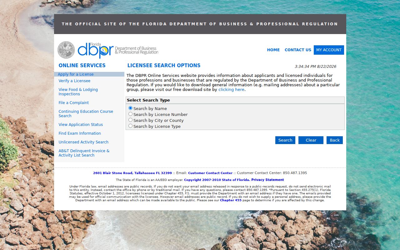
The source image illustrates an official role check without turning a business address into a residence claim.
Read Sarasota Block Changes
Permits, code cases, parcel sales, aerials, Sanborn maps, and reverse directories can describe how a block changed without naming private residents. City permit results show application type, date, status, and address, while county records serve unincorporated parcels. An applicant or contractor is not necessarily an occupant. A missing online permit may reflect spelling or coverage, including the City’s warning that some residential records before 1997 are absent.
Older Sarasota, Venice, and North Port areas developed in different eras. The History Center’s early maps, aerials, city directories, newspapers, yearbooks, and A-Z file can explain subdivision growth, annexation, or a street identity. Ask for a specific block, cross streets, map year, and directory volume. This research describes neighborhood change, while a backward chain for one home belongs to previous-resident research.
Compare sources at the same point in time. A recent parcel owner should not be paired with an old permit applicant or a directory entry from another street-number era. Record the permit date, map date, directory year, and parcel sale date side by side. Gaps are valid findings and should remain visible.
Official Sarasota Neighbor Evidence
Official sources identify a defined role and date. Parcel records show assessed ownership. A voter extract shows released registration data. Permits show project roles. Association pages show public civic contacts. Commercial neighbor tools combine records of uncertain age and may merge names or addresses, so they should be treated only as unverified leads and never as the source of a claim.
| Source type | Strength | Limit |
|---|---|---|
| Government roll or filing | Named custodian, role, date, record key | Only the covered population or event |
| Association public page | Current public contact and boundary context | Not a resident roster |
| Commercial compilation | Possible lead | Opaque sourcing, stale or merged data |
Note: Date the roll and keep the address type, because a mailing address, situs address, and registered-agent address mean different things.
Protect Sarasota County Neighbors
Private block facts stay private. Public sources do not supply utility customers, delivery data, children, unfiled renters, every household member, or members-only organization rosters. Florida’s chapter 119 opens many records while section 119.071 and agency rules protect defined people and families. The Attorney General Address Confidentiality Program gives eligible relocated victims a substitute mailing address and keeps the actual location confidential.
Florida’s Public Records Law is the official access framework.
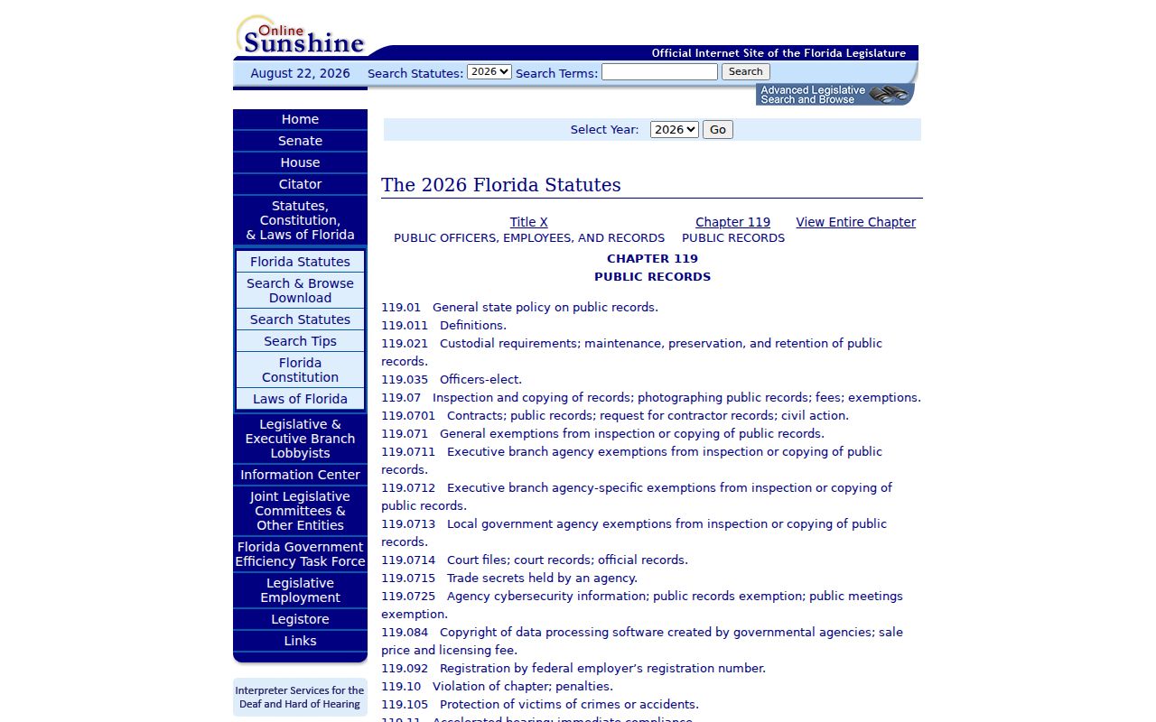
The statute image reinforces that public access remains subject to record-specific exemptions.
The official Address Confidentiality Program source describes the safety service.
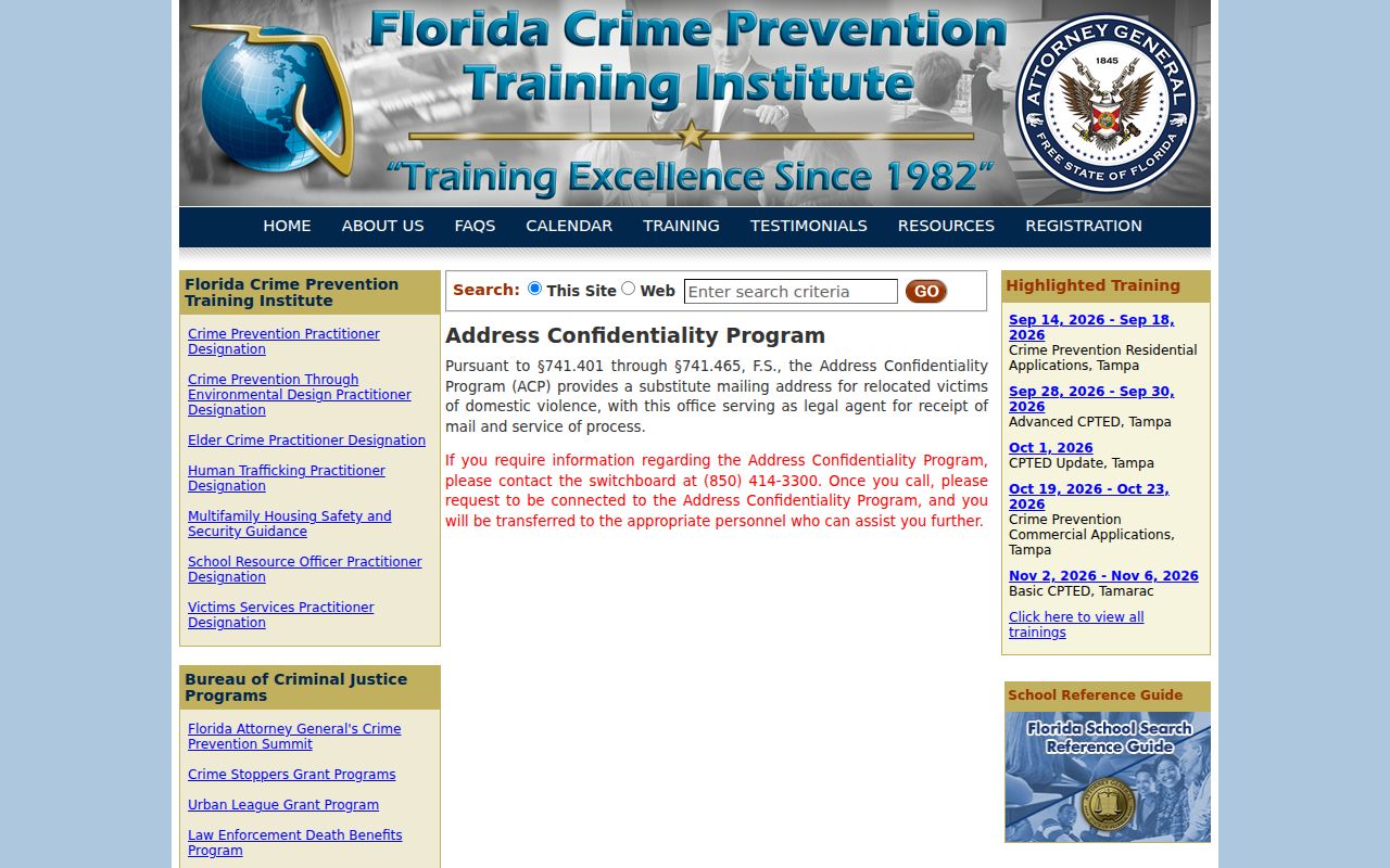
The image marks a clear stop condition: do not route around an omitted or protected address.
Lawful use. Learn about Sarasota County neighbors only for lawful civic, personal, or safety purposes. Never use records to watch, stalk, threaten, harass, intimidate, or harm anyone.